Friday, 21 August 2015

Slalok Mountain via Joffre Lakes Attempt

On Tuesday I camped at Upper Joffre Lake with a group of friends. At 5am Wednesday morning I woke up with two others from the group and we attempted to summit Slalok Mountain. We did not reach the top as it required more difficult scrambling than we were prepared for.


We headed up the Taylor-Tszil Col as the sun came up.


Then around Tszil Mountain
East side of  Tszil Mountain

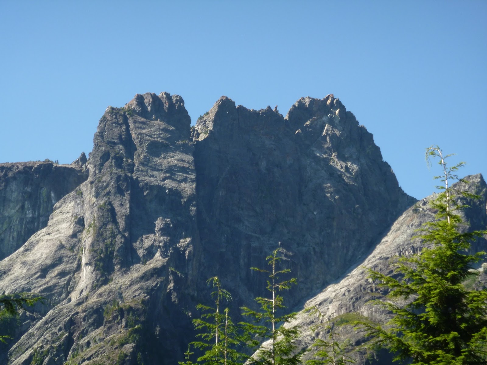
Slalok Mountain was the goal for the day. We only made it as far as the sub-summit. The scrambling was more difficult than we had bargained for.
West side of Slalok Mountain

Here's another photo of Slalok Mountain showing the sub-summit on the left.


The views of Upper Joffre Lake were nice on the way down.


A few notes:
-The trailhead is hidden. I spent Tuesday night looking for it to no avail. Wednesday morning I chose to go up a boulder field that looked like the best option, luckily the trail is next to this boulder field. My GPS marked this point as N 50°20.666' W 122°28.821'
-Joffre Lakes Trail is extremely busy, even on a weekday!
-I will return next year to try for Slalok Mountain again.

Friday, 14 August 2015

Mt Webb and MacDonald Peak via Radium Lake

On Wednesday afternoon I drove 2 hours to Chilliwack Lake, then I hiked to Radium Lake where I camped for one night. In the morning I hiked up Mount Webb and MacDonald Peak, then headed back to campsite to gather my gear and hike down to the car.


I bought a backcountry camping permit here and parked at Chilliwack Lake Day-Use parking with a copy of the permit in my windshield. Then I followed the Trans-Canada-Trail (TCT) until the intersection with Radium Lake Trail. The trail is in good shape with all river crossings intact, including this very bouncy suspension bridge.


Radium Lake was a nice place to camp for a night.


I woke up with at dawn and hiked a well-flagged trail up the col between Mt Webb and MacDonald Peak. Here's a view looking down from the top of the col with Mount Corriveau behind.


Then I scrambled up Macdonald Peak. There were some cairns showing the easiest route, which involved circling the mountain counter-clockwise and reaching the summit from the South 
Macdonald Peak


Then I hiked up Mount Webb. I scrambled up the South side,
Mount Webb


I'd recommend this trip. Lots of great views once you're out of the treeline. It's possible to do as a long day-trip, keep in mind that the park gate closes between 10pm-8am. Also a mountain bike would be helpful for the first portion of the trail. A map of the area is here.

Friday, 7 August 2015

Mount Bishop via Vicar Lakes

Yesterday I hiked Mount Bishop. I parked at the North end of Lillooet Road and cycled to the trailhead on Spur 4 road on the East side of the Seymour River.  I locked my bike and hiked up past Vicar Lakes and onto Mount Bishop.


The trailhead is near 12.5 km on Spur 4 Road. It's marked by orange square markers. It is easy to miss.


Vicar Lakes were very serene.


Such a foggy day, not much of a view. Wet rock made the scramble a little tricky.


A few notes:
-The trail from Spur 4 Road to Vicar Lakes is in amazing condition with lots of flagging and ropes, which help a lot because it's quite steep. A big thank you to whoever maintains this trail!
-At Vicar Lakes it meets up with the Indian Arm Trail which apparently continues towards Mount Dickens and beyond.
-Total time was 9.5 hours.
-Next time I would park at Lynn Headwaters to avoid the 100 speedbumps on Lillooet Road.
-Find a map of the Lower Seymour Conservation Reserve here. It does not show the trailhead.

Friday, 31 July 2015

Golden Ears Hike

Yesterday I hiked Golden Ears. Trailhead is about a 1 hour drive from Vancouver. Here's a trail map thanks to BC Parks.


The first 3km is along a gravel path. Wish I had brought a bicycle.


 I brought an ice-axe for the snowfield, but didn't need it. The snowfield is almost completely gone. I was thankful it was there for a water refill!


Edge peak looks amazing! Makes me want to work on climbing skills.

A few notes:
-Golden Ears is the highest peak in the area, views from the top are great.
-There's no water between Alder Flats and the snowfield.
-Bring a bike for the first 3 km.

Monday, 27 July 2015

Sentinel Bay Hut via Garibaldi Lake

Check out Matt's version of the trip here. Matt had paddled Garibaldi Lake a few weeks earlier and saw snow above Sentinel Bay. He brought up the idea of skiing in July, so what the heck we went for it! On Wednesday night we hiked the Garibaldi Lake Trail with a kayak, skis, and tons other gear. We kayaked across the lake towards Sentinel Bay where we explored the area until Friday.


Damn our packs were heavy as we hit the trail around 9:30pm.


We arrived at Garibaldi Lake around 12:30am, loaded up the kayak (well past it's 400 lb suggested maximum) and paddled out. Fog was rolling off the lake giving the water a very eerie feeling. I was actually quite freaked out, luckily Matt's good humor calmed me down.


We reached the shore of sentinel bay around 3am, unloaded the kayak and passed out shoreside for a couple of hours.


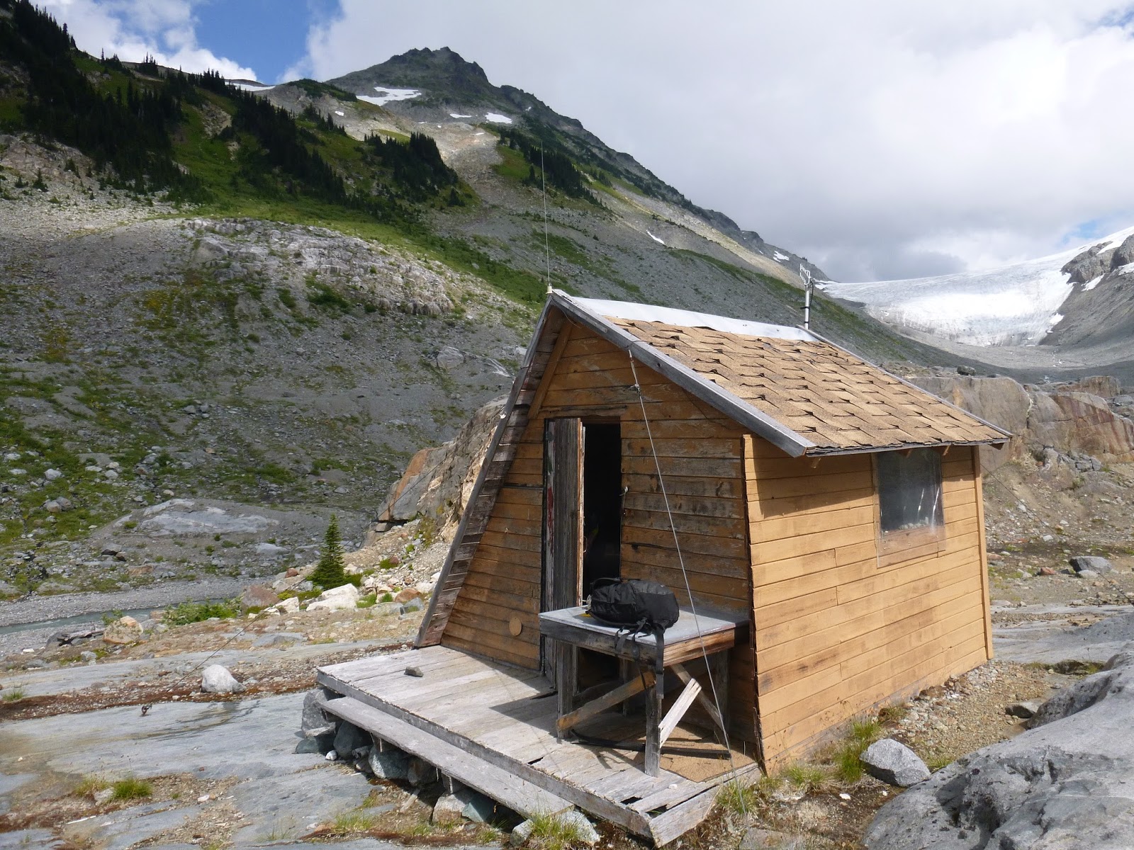
We made our way 1.5km to the glaciology hut that would be our home for the next two days.


We hauled our gear up from the shore.


Ah home sweet home


We rested a bit then made our way Southwest exploring the area.


Not quite enough snow for skiing unfortunately. 


We had some amazing views of the Table


Soon clouds took over the sky


It looked like storms coming in from the Southeast so we made our way back to the hut.


We made it back just as clouds were overtaking the hut. We spent the night waiting out rain and strong wind.


In the morning rain and winds persisted.


At the calmest moment we loaded the kayak and set out back across the lake. Luckily the winds were in our favor. The paddle was nerve-wracking and we were both grateful to arrive at the other side.


A quick lunch in the warming hut and we made our way down the trail. Ah two happy campers!


A few notes:
-There's actually two huts at Sentinel Bay. Both are in good shape. The one we stayed in was the nicer of the two. Good water and wind-proofing and foam on the sleeping areas so you don't need to bring a mat. Instructions we had said the huts are 500m from shore, we found them to be well over 1 km.
-Paddling with all of that gear was very difficult. The extra weight made the kayak top-heavy and very tippy.
-If you do paddle Garibaldi Lake keep an eye on the weather, the wind can really whip through.

Friday, 17 July 2015

Hanes Valley and Crown Mountain

This week I hiked the the Hanes Valley Trail and to the top of Crown Mountain. I parked my car at the base of Grouse and road my bike to Lynn Headwaters. Then I hiked back.


The hike to Norvan Falls was uneventful except for this sign.


The Hanes Valley Trail is nice and ends with a hike up a fairly long boulder trail. Be careful for loose rocks!! The view from the top of the valley was nice.


Of course I detoured to the top of Crown before heading down to Grouse and then the BCMC trail to my car.

Overall a nice day! The hike was about 9 hours plus 45 mins for the morning bike ride. Make sure to load up on water when you can, from the valley to Grouse there is not any sources.

Thursday, 9 July 2015

Mount Windsor via Deeks Lake

Yesterday I hiked from Porteau Cove around Deeks Lake and up Mount Windsor. Porteau Cove is about a 40 minute drive North from Vancouver.


The first 3kms of the hike is along a very good condition road. Next time I would bring a mountain bike for this portion.


The sky was hazy with smoke from the many recent wildfires around BC. Here's a view at Deeks Lake.


The last bit of the hike is the most interesting part. A short scramble to the summit.


A few points about this hike:
-Lots of good berries on the trail; thimbleberries, salmonberries and huckleberries.
-Next time I would bring a bicycle for the first 3kms.
-Apparently in the winter this is a good ski/snowshoe route.